Abstract
To download this paper, please click here.
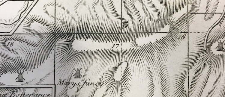
This essay explores the visualisation of race in Danish colonial cartography, focusing on the cartouche that identifies Peter Lotharius Oxholm’s cadastral and topographical map of St. Croix, published in 1799. Oxhom’s map functioned as an important visual symbol as well as administrative tool for the extraction of value and colonial establishment of the Danish colony. The cartouche, depicting a sugar plantation and its enslaved workers in various stages of sowing and harvest, was engaging in a visual discourse across the Americas that sought to reinforce the reproduction of slavery. Reading the map’s cartouche and Oxholm’s writing on sugar production ‘against the grain,’ however, reveals an anxiety about the economic and social instability of slave society. ‘Cutting’ is repeatedly evoked in this material. This ‘cutting’ invokes multiple modes of action as sites of cultural encounter: the cultivation of sugar, imperial landscaping, surveying of land for cartographic representation, and the technique of engraving itself. The essay argues that the medium of print and the map’s materiality constructs a discourse on racial difference as oppositions between black and white that inadvertently also threatens the overall ordering of the map landscape.

